
Thailand › Phuket Province › Bang Tao–Laguna
Locality · Phuket Province, Thailand
Bang Tao–Laguna
25 projects on file.
Getting here
Where it is.
- Bang Tao Bay lies about 24 kilometres from Phuket town, reached by taking Thepkrasattri Road north to the Thao Thepkrasattri–Thao Sisunthon Monument and then turning left onto Si Sunthon Road.
- The Choeng Thale Subdistrict Administrative Organization office, at 247 Moo 5 on Si Sunthon Road, is about 7 kilometres from Thalang District Office and about 22 kilometres from Phuket Provincial Hall.
- Phuket International Airport is the only airport on Phuket island taking both domestic and international flights, and its operator describes it as the third busiest airport in Thailand.
More on getting around
- The Phuket Smart Bus route from Phuket International Airport calls at Boat Avenue Choeng Talay and Tesco Lotus Cherng Talay before continuing to Surin, Kamala, Patong, Karon, Kata and Rawai beaches.
- The Airport Bus Express runs from Phuket International Airport to Patong Beach between 08.00 and 20.00, and from Patong Beach to the airport between 06.00 and 18.30.
Ministry of Tourism and Sports · Choeng Thale Subdistrict Administrative Organization · Airports of Thailand Public Company Limited, checked 24 September 2026
About Bang Tao–Laguna
What is known about it.
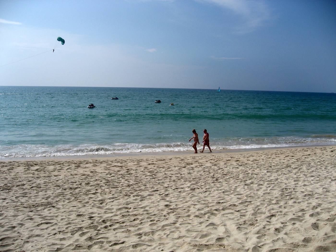
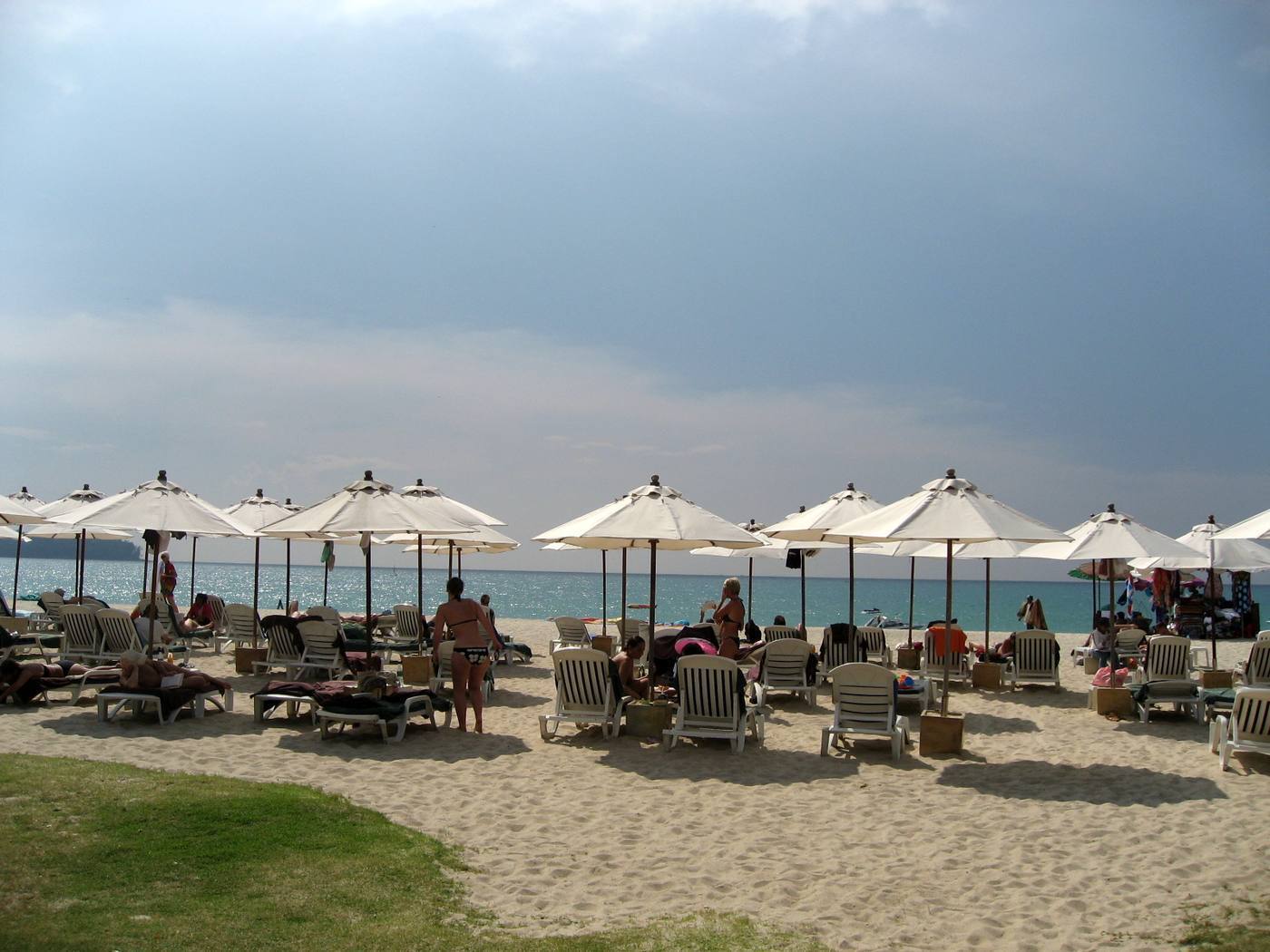
- Bang Tao Beach is about eight kilometres long and is one of the longest beaches in Phuket province.
- Ban Bang Tao School, a state school in Choeng Thale subdistrict under the Phuket Primary Educational Service Area Office, had 780 pupils spanning kindergarten year 2 to Mathayom 3.
- The state hospital for Thalang district, in which Bang Tao lies, is Thalang Hospital at 358 Moo 1, Thep Krasattri subdistrict.
- Choeng Thale has an equatorial climate under the influence of the south-west and north-east monsoons, is hot and humid all year, and has two seasons: a rainy season from April to November and a hot season from December to March.
- Bang Tao Beach was formerly a mining area.
More about Bang Tao–Laguna
- The area administered by the Choeng Thale Subdistrict Administrative Organization covers about 37.1 square kilometres, or about 23,187.5 rai.
- Ban Choeng Thale School, the other state school in the subdistrict, had 191 pupils spanning kindergarten to Prathom 6.
- The Choeng Thale shoreline is indented into bays, islands and capes, among them Bang Tao Bay, Koh Kata, Koh Wae and Laem Sing, and it holds four sandy beaches: Laem Sing, Surin, Bang Tao and Layan.
- Surin Beach, in Moo 3 of Choeng Thale subdistrict next to Kamala subdistrict, has a 101-rai public park, about two kilometres of beach and more than twenty shops.
- Layan Beach, in Moo 6 of Choeng Thale subdistrict, is part of Sirinat National Park and is under the care of the Hat Layan national park protection unit.
- Masjid Mukarram, which the subdistrict describes as the largest mosque in Phuket province, was built in 1966 and stands in Moo 2, Ban Bang Tao, on Si Sunthon Road.
Choeng Thale Subdistrict Administrative Organization · Office of the Basic Education Commission, Ministry of Education · Thalang Hospital, checked 24 September 2026
Projects here
25 projects, in the developers’ own words.
We have not checked these descriptions, we do not act for these developers, and we recommend none of them.
A card marked illustration shows a photograph of Thailand rather than of the project, because we hold none of the project itself. Vyacheslav Argenberg (CC BY 4.0) · Wendy Harman (CC BY 2.0) · Emha (CC BY-SA 2.5) · Lung Manu (CC BY-SA 4.0) · Pather alexiy (CC BY-SA 3.0) · Edwin Lee derivative work: MrPanyGoff (CC BY 2.0).
Last checked 24 September 2026. Prices, ownership rules, costs and our own analysis are not shown on this page.